


RTK (Real-Time Kinematic) is currently one of the most widely adopted positioning technologies in the robotic mower industry. While it is straightforward to implement and cost-effective, it also has several limitations.
To overcome the drawbacks of traditional RTK, Mammotion has upgraded its wireless robotic mowers with Network RTK, and offering users lifetime free access to this advanced service.
Let's take a closer look.
What is RTK?
RTK (Real-Time Kinematic) is a differential positioning technology that achieves rapid, high-precision location by using simultaneous observations from a base station and a rover, based on satellite signal carrier phases.
In simple terms, it is a correction technology that significantly improves the accuracy of GNSS (Global Navigation Satellite Systems) positioning.
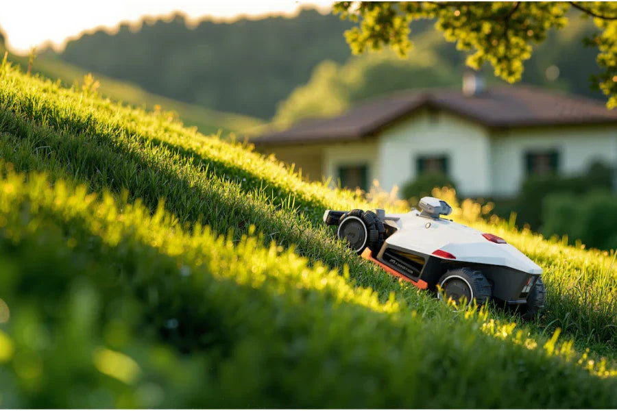
How a RTK Robotic Mower Works
An RTK system typically consists of three main components: the base station, the rover (robotic mower), and the wireless communication system.
- Base Station: A stationary device installed at a fixed location, such as a rooftop or garden pole. It knows its exact position and calculates the difference between its location and the satellite signals, generating correction data.
- Rover: The robotic mower that receives the correction data from the base station and compares it with its own satellite signals to determine its position with centimetre-level accuracy.

The Limitations of RTK
While traditional RTK technology is relatively simple to implement and cost-effective, its complex installation severely limits actual performance and user experience.
- Power cable length constraints.
Standard power cables are typically limited in length, forcing the base station to be placed near an electrical outlet rather than in an ideal signal location. This not only compromises optimal signal reception but also leads to cluttered wiring across the yard, affecting aesthetics and potentially requiring additional expenses for specialized extension cables.
- Distance constraints between base and rover.
Accuracy is strictly tethered to the proximity of the base station. The further the rover (mower) travels from the base, the greater the potential for positioning errors. Consequently, reliability decreases significantly when managing large or complex multi-zone properties.
- Signal Obstruction & Line-of-Sight Limits.
Traditional RTK requires a constant, direct "line-of-sight" between the mower and its base station. Buildings, tall trees, or other physical obstacles can block satellite signals, preventing the rover from receiving real-time correction data. This "signal shadowing" directly impacts both positioning precision and system stability.
- Dependence on environmental and weather conditions.
The overall performance of the RTK system is sensitive to external interference. Heavy rain, snow, dense fog, or electromagnetic interference can degrade GNSS signal quality, leading to unstable navigation during critical mowing periods.
To overcome these limitations, Mammotion has upgraded its robotic mowers with Network RTK technology. Let’s explore what Network RTK is and how it delivers high-precision navigation over a wider area.
What is Network RTK?
Network RTK is a professional-grade positioning technology that replaces the single, local base station in your garden with a vast network of permanent satellite observation stations spread across a country or region.
Instead of relying on one small box on your roof, your mower communicates with a professional infrastructure of "Virtual Reference Stations" to determine its exact location.
In short, Network RTK provides centimetre-level accuracy without the need for you to install, power, or maintain a physical base station on your property.

How a Network RTK Robotic Mower Works
The process happens in real-time and follows four simple steps:
- Global Observation: A network of professional ground stations across Europe constantly tracks satellite signals.
- Central Processing: These stations send their data to a central server, which calculates precise correction data for the entire region.
- Internet Connection: Your robotic mower connects to this server using an onboard 4G module or your home Wi-Fi.
- Centimetre-Level Navigation: The server sends the correction data directly to your mower based on its specific coordinates. The mower then combines this with its own GPS signal to know exactly where it is within 1–2 centimetres.
The Advantages of Network RTK
Switching from a traditional RTK to a Network RTK system—Mammotion iNavi™ Service— offers significant practical benefits for homeowners:
- No RTK antenna, No installation.
You don’t need to drill holes in your roof, set up dedicated poles in your garden, or run long power cables.
Simply connect via 4G or your home Wi-Fi, and Mammotion robotic mowers can start precise positioning immediately, keeping your garden neat and unobstructed.
⭐ Crucially, the 4G data required for the Mammotion iNavi™ service is free for the entire product lifespan, ensuring a seamless experience without any hidden subscription costs.
- Higher accuracy and reliability.
Traditional RTK systems rely on a single home base station, whereas Network RTK leverages multiple reference stations across the region to calculate corrections. This allows fine adjustment of spatially correlated errors, enabling the rover to receive more accurate correction data.
Network RTK transmits differential signals over the network (4G/Wi-Fi), typically providing stable data coverage across a much wider area. This eliminates common RTK limitations caused by terrain obstruction or distance constraints of radio-based transmission.
- With NetRTK, line precision up to 98%.
NetRTK ensures your lawnmower stays on a straight path, preventing "drifting" in low-signal environments. Mammotion iNavi™ service introduces professional-grade straightness, enabling your lawnmower to create clean, crisp stripes, ensuring your lawn always looks neatly trimmed and professionally finished.
Network RTK vs Traditional RTK: Comparison Table
| Comparison | Traditional RTK | Network RTK |
| Reference Stations | 1 (Private) | 🏆3 or more (Professional) |
| Antenna | Required | 🏆None Required |
| Coverage Range | 20–30 km | 🏆Theoretically Unlimited |
| Positioning Accuracy | High | 🏆Very High |
| Reliability | Low | 🏆High |
| Setup Cost | Low | 🏆Free Lifetime Service provided by Mammotion |
| Ease of Use | Simple | 🏆Very Simple |
| Important Considerations | High dependency on a single base station; lower relative reliability. | Requires an internet connection; stable network signal is essential. |
Buy Robotic Mowers, Enjoy Free NetRTK
Mammotion iNavi™ Service is a global, centimeter-level real-time positioning system developed by Mammotion Atlas Lab. Powered by Network RTK technology, it delivers centimeter-level accuracy without the need for any physical base station.
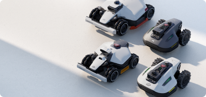
Mowers that enjoy free lifetime access to the iNavi™ Service:
2026 Models:
- Mammotion LUBA 3 AWD: 3000 / 5000 / 10000
- LUBA mini 2 AWD: 1000
- YUKA mini 2: 800
2025 Models:
- LUBA 2 AWD: 3000 / 5000 / 10000
- LUBA mini AWD: 800 / 1500
- YUKA: 1000 / 2000 / 3000
- YUKA mini: 600 / 800
- LUBA mini AWD LiDAR: 1500
(Please note: Some products are currently sold out, and the models available may vary by country. Click to visit Mammotion Robot Lawn Mowers for more info.)
Mammotion iNavi™ Service currently covers most regions in Europe, with additional areas being added. Please refer to the iNavi™ coverage Area to check availability in your location.
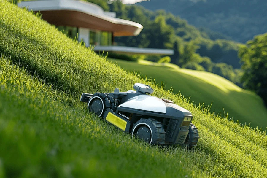
Beyond NetRTK: The Tri-Fusion Navigation Technology of LUBA 3 AWD
While Network RTK solves positioning challenges for most lawns, the LUBA 3 AWD takes it a step further. It is the world’s first robotic mower to seamlessly integrate 360° LiDAR, Dual-Camera AI Vision, and Network RTK into a single, cohesive system.

This Tri-Fusion Positioning technology provides the LUBA 3 AWD with centimetre-level environmental awareness and unmatched reliability:
- Stability in All Conditions: Even under dense tree canopies, near tall buildings, or in narrow passages where satellite signals are weak, the LiDAR and Vision systems take over instantly. This ensures the mower never loses its heading or gets "stranded."
- 3D Environmental Mapping: Using 360° LiDAR, the LUBA 3 AWD builds a real-time 3D map of its surroundings. It can actively identify and precisely navigate around obstacles, protecting your garden furniture, flower beds, and pets.
- 24/7 Autonomous Operation: Whether in low-light conditions or complex weather, the synergy of these three technologies ensures the robot operates reliably around the clock, delivering a consistently pristine finish to your lawn.
Click to learn more about the LUBA 3 AWD perimeter wire free robotic lawnmower.

FAQ
1. What does RTK stand for?
RTK stands for Real-Time Kinematic. It is a high-precision satellite navigation technique used to enhance the precision of position data derived from satellite-based positioning systems (GNSS) like GPS, GLONASS, Galileo, and BeiDou.
2. Is RTK more accurate than GPS?
Yes, RTK is significantly more accurate than standard GPS. While traditional GPS provides a positioning accuracy of approximately 2 to 5 metres, RTK technology narrows this error margin down to 1 to 2 centimetres, making it essential for boundary-free robotic mowing.
3. What is the difference between GNSS and RTK?
GNSS is the satellite constellation system, while RTK is a correction technique used to improve its accuracy. GNSS (Global Navigation Satellite System) refers to the groups of satellites in orbit (like GPS or Galileo). RTK is the technology that processes these satellite signals to remove atmospheric and timing errors, providing centimetre-level precision.
4. Do I need a base station for RTK?
It depends on the technology used. Traditional RTK requires a physical, local base station installed on your property. However, Network RTK (NetRTK), such as the Mammotion iNavi™ Service, eliminates the need for a physical base station by using a professional network of stations to deliver correction data via the internet.
5. What is the difference between RTK and Network RTK?
The main difference is the source of the correction signal. Traditional RTK relies on a single, local base station in your garden. Network RTK (NetRTK) uses a broad network of professional observation stations. NetRTK is more reliable, covers a theoretically unlimited range, and removes the need for hardware installation on your home.
6. What level of accuracy does an RTK network provide?
An RTK network provides centimetre-level accuracy, typically within 1 to 2 centimetres. This level of precision is maintained even across large properties, ensuring that robotic mowers can follow precise lines and navigate complex boundaries without drift.
7. Does RTK require internet?
Traditional RTK does not require internet, but Network RTK does. Traditional RTK communicates via radio waves between a base station and a mower. Network RTK (like Mammotion iNavi™) requires an internet connection (via 4G or Wi-Fi) to receive correction data from the cloud-based server.
8. Which regions have public RTK networks?
Most countries in Europe, North America, and parts of Asia have extensive RTK network coverage. Mammotion’s iNavi™ Service covers the majority of European regions. You can check the specific availability for your area on the official iNavi™ Coverage Map.
Conclusion
In summary, the evolution of positioning technology is making robotic lawn care simpler and more precise than ever. Moving from traditional RTK that requires complex hardware to modern Network RTK delivers centimetre-level accuracy entirely via the cloud. We have officially entered the "Plug-and-Play" era.
As a pioneer in this field, the Mammotion iNavi™ Service eliminates the need for physical base station installation while providing unmatched stability through a professional, continent-wide network. For those seeking the absolute pinnacle of performance, the new LUBA 3 AWD robot mowers without perimeter wire take reliability even further with its Tri-Fusion Positioning technology. By blending Network RTK with 360° LiDAR and AI Vision, it ensures a perfect cut even in the most challenging, GPS-denied environments.


Leave a comment
This site is protected by hCaptcha and the hCaptcha Privacy Policy and Terms of Service apply.